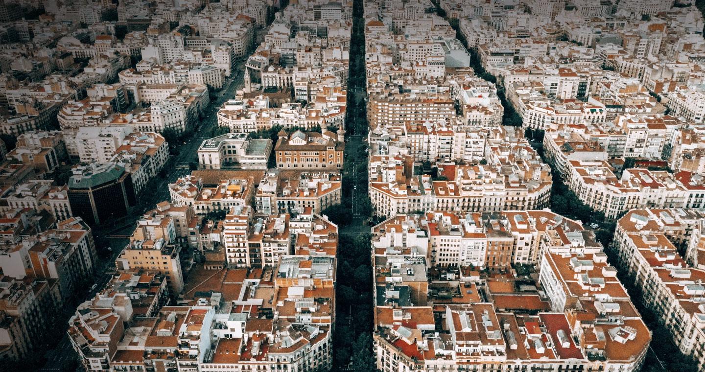

PHOTOGRAMMETRIC TOPOGRAPHIC CARTOGRAPHY
In urban contexts, Telespazio Ibérica has experience of working with 500, 1,000 and 2,000 scales.
Other fields where we performed successful projects are civil engineering, land use, architecture and infrastructure.
In addition, Telespazio Ibérica has the ability to generate:
ORTOPHOTOMAPS
- Telespazio Ibérica is able to carry out the entire process of generating ortophotomaps including generating MDT in digital photogrammetric stations (EFD).
- Ortophotomaps are generated in different scales, both colour or black & white according to the preferences of the customer, to obtain an homogenous result on each sheet/mosaic.
COPERNICUS
- Telespazio Ibérica participates in the EO European Programme Copernicus, performing Operational Services within several vertical domains: Land, Emergency & Security. Besides the high quality that those products demands, it should be highlighted that in the cases of the Emergency & Security Services, the need for an rapid response to the client’s requests. The products generated in those operational services support the EU in the decision-making process related to safety and environmental issues, helping the management of natural as well as manmade disasters.